


Cascade de Pissieux

Bogapuki
User
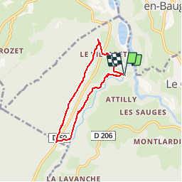

Length
6 km

Max alt
789 m

Uphill gradient
190 m
Km-Effort
8.6 km

Min alt
624 m

Downhill gradient
191 m
Boucle
Yes
Creation date :
2018-11-25 09:19:32.337
Updated on :
2018-11-25 09:19:32.337
1h51
Difficulty : Unknown

FREE GPS app for hiking
 SityTrail
IGN / Geographical institutes
SityTrail Plus
The world is yours!
About
Trail Walking of 6 km to be discovered at Auvergne-Rhône-Alpes, Savoy, Le Châtelard. This trail is proposed by Bogapuki.
Description
Rando très facile à faire avec de jeunes enfants.
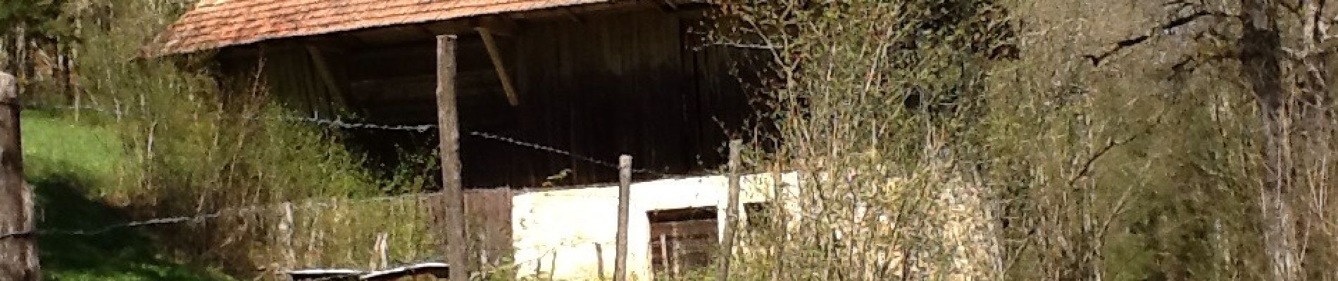
Photos


Positioning
Country:
France
Region :
Auvergne-Rhône-Alpes
Department/Province :
Savoy
Municipality :
Le Châtelard
Location:
Unknown
Start:(Dec)
Start:(UTM)
275589 ; 5063463 (32T) N.
Comments